Civil 3D, grading and CAD support for consultants and contractors.
Book one service for a single assignment, or combine them into ongoing production support. Every project is quoted up front.
3D Civil Surfaces & GPS Machine Control Models
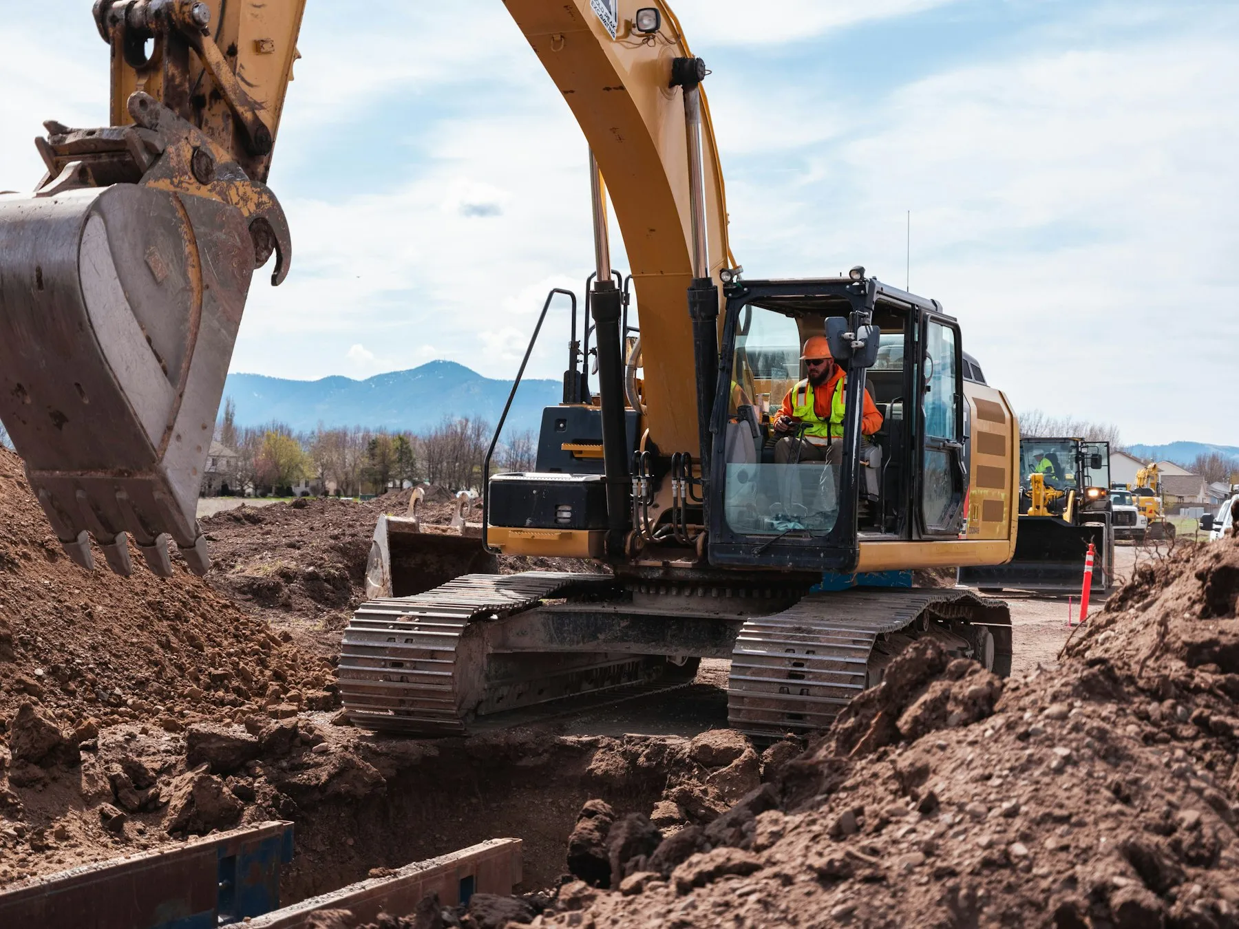
We create detailed three-dimensional Civil 3D surface models for contractors using GPS-equipped construction equipment.
We work with contractors using systems such as Trimble and Topcon, preparing models and data in compatible formats according to their equipment and project requirements. The goal: less manual grade interpretation, more consistent construction information, and more efficient work in the field.
Models can include
- Existing and proposed TIN surfaces
- GPS-ready grading surfaces
- Excavation and earthwork models
- Stormwater management ponds
- Parking lots and roadways
- Building pads and site development areas
- Surface boundaries and breaklines
- Contours and elevation data
- Machine-control surface preparation
Site Grading, Earthworks & Drainage
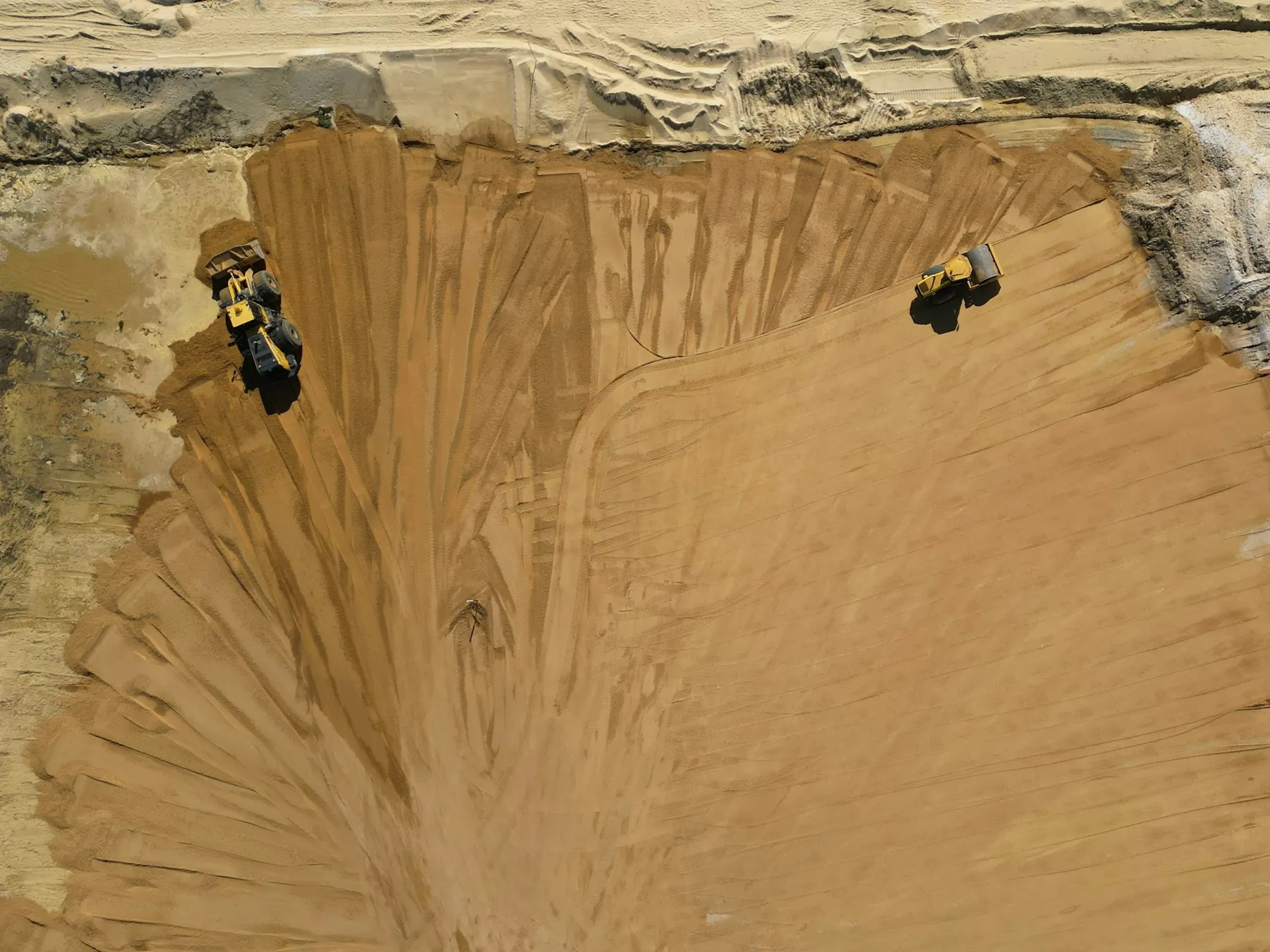
We provide Civil 3D grading and drafting support for residential subdivisions, commercial developments, industrial properties, parking lots, stormwater management facilities and construction sites.
We can support grading production from initial drawings through subsequent engineering review and revisions.
Includes
- Existing and proposed grading plans
- Surface creation and modifications
- Spot elevations and contour development
- Stormwater management pond modeling
- Parking lot and roadway grading
- Earthwork quantity calculations
- Cut-and-fill analysis
- Grading revisions and design coordination

Custom AutoLISP & CAD Automation
We develop customized AutoLISP routines and automation tools for contractors, surveyors and engineering firms. They're designed to eliminate repetitive CAD tasks, reduce manual data entry and improve production efficiency.
Each tool can be customized to fit a client's existing workflow.
Examples
- Generating Civil 3D COGO points from survey symbols and elevations
- Identifying structures such as catch basins and manholes
- Extracting elevation information
- Automating repetitive drawing operations

Civil Engineering Drafting & CAD Production
We provide professional drafting and production support to civil engineering consultants, contractors and developers.
Whether a company needs assistance with a single drawing or additional production capacity for a larger project, our goal is to integrate seamlessly into existing workflows.
Includes
- Site development drawings
- Grading layouts
- Plan and profile drawings
- Infrastructure drafting
- General AutoCAD and Civil 3D production
Site Servicing & Infrastructure Drafting
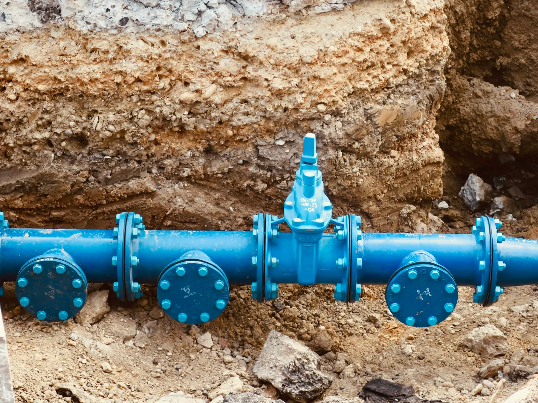
We assist with civil infrastructure drawings involving storm sewers, sanitary sewers, watermains, drainage systems, underground utilities and the associated plan and profile drawings.
We work from project specifications, survey information and engineering design requirements to prepare detailed CAD drawings for review and coordination. Professional engineering review or stamping, where required, remains the responsibility of the appropriately licensed professional.
Includes
- Storm and sanitary sewers
- Watermains
- Drainage systems
- Underground utilities
- Plan and profile drawings

Survey Data Processing & Existing Conditions
We assist with importing, organizing and processing survey information for use in AutoCAD Civil 3D, preparing existing-condition models from client-provided survey or LiDAR data.
Includes
- COGO point creation
- Point group management
- Surface modeling
- Breaklines and boundaries
- Topographic drafting
- Existing-condition models
As-Built Drawings & Construction Revisions
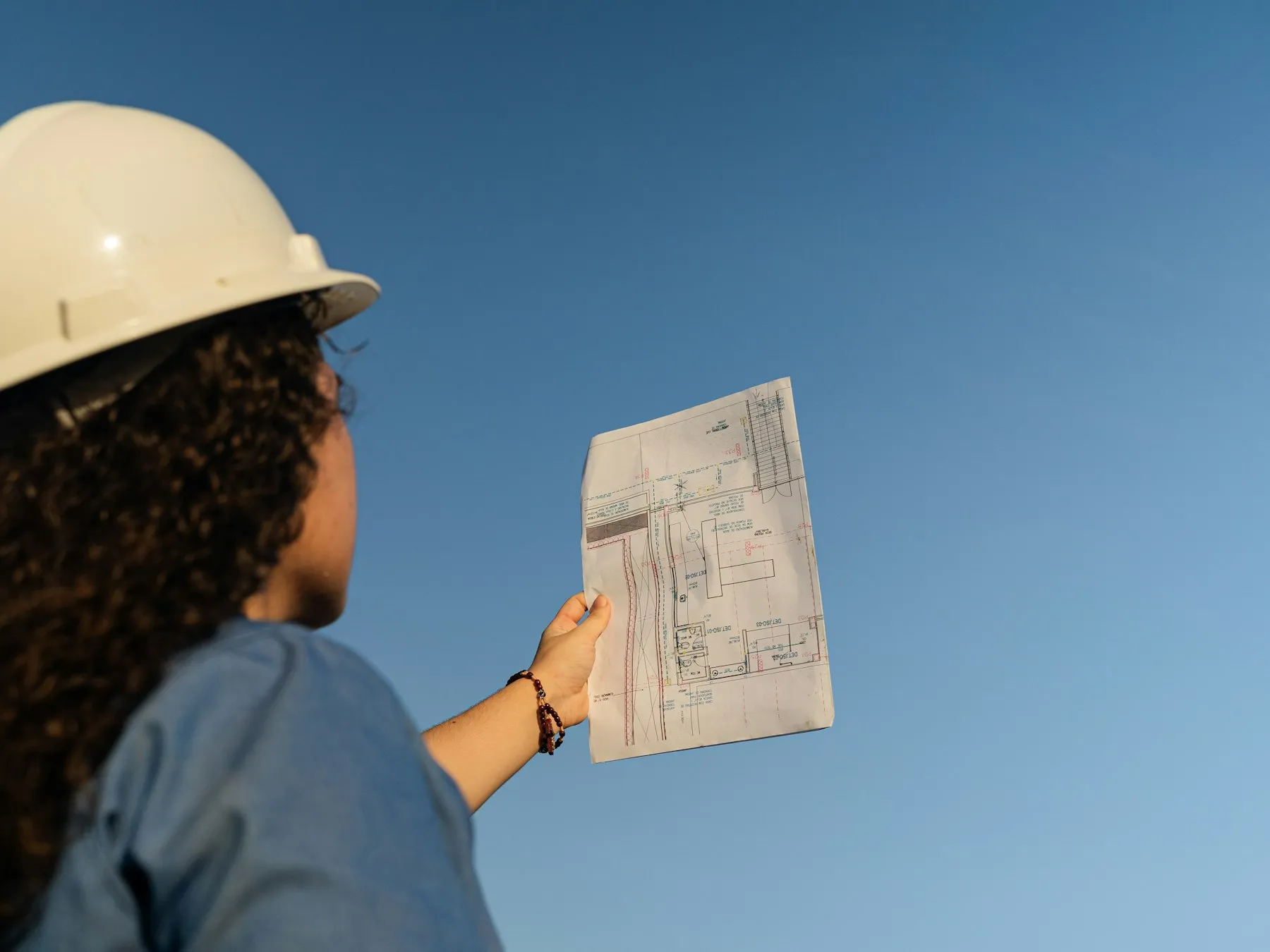
We assist engineering consultants and contractors with updating construction drawings to reflect completed work, field measurements, redline markups and construction changes.
Revisions are prepared from client-supplied information.
Includes
- Revised utility locations
- Updated elevations
- Infrastructure layout changes
- Site grading details
- Redline markups picked up
PDF-to-CAD Conversion & Drawing Revisions
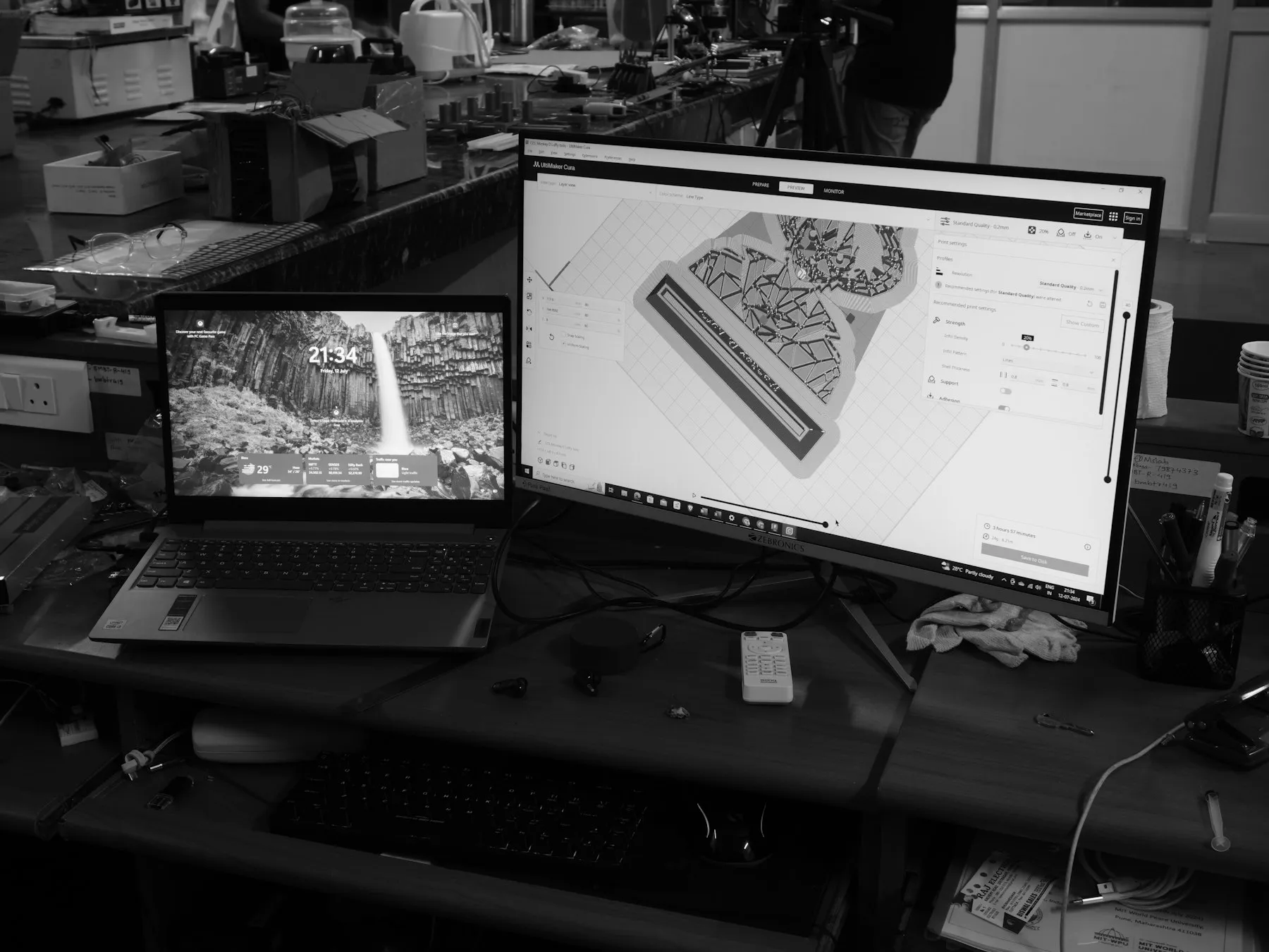
We convert existing drawings, PDF plans and other supplied references into usable AutoCAD and Civil 3D drawing files.
Where original CAD files are unavailable, we can reconstruct the required information using the available plans and dimensions, subject to verification of the source information.
Includes
- PDF-to-DWG recreation
- CAD tracing and drawing reconstruction
- Converting 2D information into 3D surfaces
- Redline revisions
- Drawing cleanup and organization
- Layer and drawing standardization
- Updating existing CAD packages
- Preparing files for consultant and contractor use

Civil 3D Training & Technical Support
We provide personalized AutoCAD Civil 3D training for individuals, contractors and engineering teams.
Sessions are tailored to the client's experience level and project requirements.
Training can cover
- Software fundamentals
- Survey data imports
- Point management
- Surface creation
- Grading workflows
- Drawing organization
- Productivity improvements
Drawn in AutoCAD and Civil 3D, delivered in the formats you use.
We coordinate the final deliverable format with each client before starting.
- Autodesk AutoCAD
- Autodesk Civil 3D
- AutoLISP and Visual LISP
- Autodesk-compatible CAD and survey workflows
- DWG
- AutoCAD and Civil 3D drawing files
- Drawing packages
- DXF
- CAD exchange files
- LandXML
- Surface and civil data exchange
- CSV
- Survey points and coordinate data
- Other
- Agreed formats for GPS and machine-control workflows
Not sure which service fits?
Send your drawings, survey data or a description of the work. We'll recommend the most efficient approach and quote it.